Montana Passes
Montana has a lot of mountain ranges and it has a lot of miles of continental divide. These physical features provide a great many scenic locations and there are consequently a large number of passes to allow travel by train or automobile across and through these often formidable barriers. In addition some challenging highway climbs are known as a “hill” rather than being designated a pass. We will arrange our photos by starting at the Montana, Wyoming, Idaho boundary and going northward up the Montana-Idaho border. We will then return to the continental divide near Sula and follow it northward to Glacier Park. Finally, we will visit the more isolated passes and hills that are not located on these well defined continuous elevations.|
|
|
|
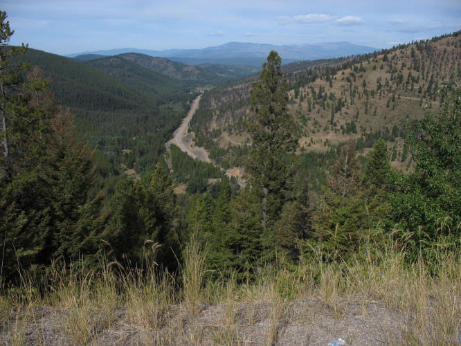
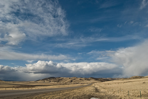
 Targhee Pass el. is 7072 ft on US-20
It is 15mi. west of West Yellowstone.
Targhee Pass el. is 7072 ft on US-20
It is 15mi. west of West Yellowstone.
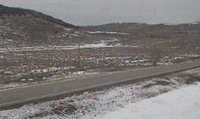 Raynolds Pass el. is 6760 ft on US-87
It is on the border above Henry’s Lake.
A great view of the Teton’s far ahead looking southbound.
Raynolds Pass el. is 6760 ft on US-87
It is on the border above Henry’s Lake.
A great view of the Teton’s far ahead looking southbound.
|
|
|
|
 Bannock Pass el. 7681 ft on MT-324
The Gilmore and Pittsburgh RR had service on the pass from 1912 – 1930
Bannock Pass el. 7681 ft on MT-324
The Gilmore and Pittsburgh RR had service on the pass from 1912 – 1930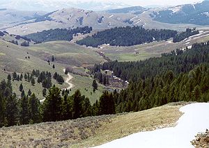
|
|
|
|
 Chief Joseph Pass el. 7264 ft on MT-43 is the most northerly pass over the continental divide and on the
Montana-Idaho border.
Chief Joseph Pass el. 7264 ft on MT-43 is the most northerly pass over the continental divide and on the
Montana-Idaho border.
|
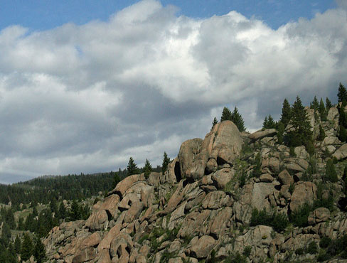
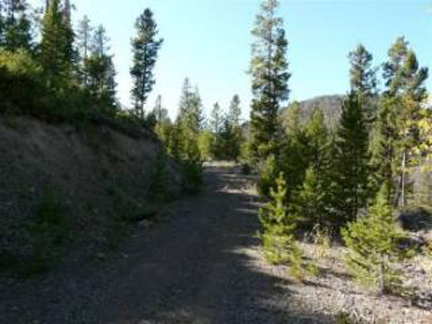
Horse Creek Pass el. 7305 ft and neighboring Nez Perce Pass el. 6587ft are in truly remote places that go out into forested recreation country in Montana and Idaho. Neither leads one to any city or connecting route. |
|
|
 Lolo Pass el. 5233 ft on US-12 is on the road to the Lochsa River in Idaho.
It is the pass that Lewis and Clark
used both going west in 1805
and returning in 1806
Lolo Pass el. 5233 ft on US-12 is on the road to the Lochsa River in Idaho.
It is the pass that Lewis and Clark
used both going west in 1805
and returning in 1806
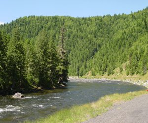
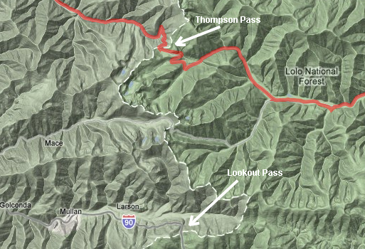
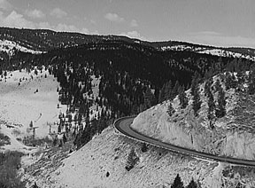
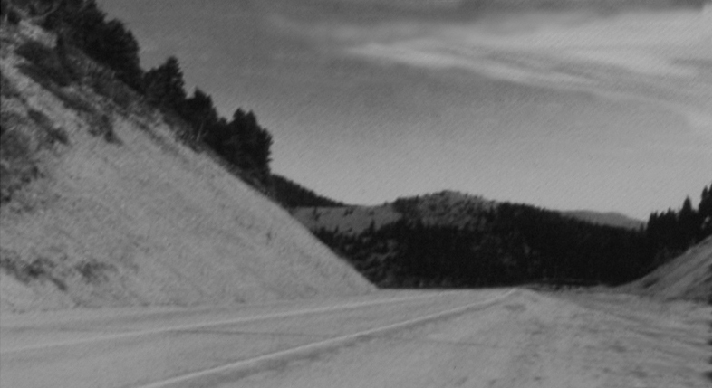
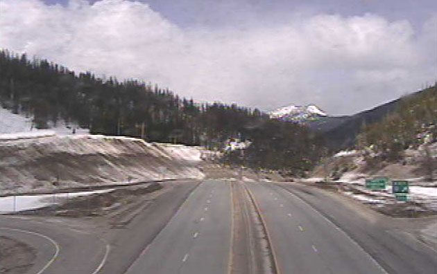 Lookout Pass el. 4700 ft on I-90
This is the major highway through Montana on the way to Seattle.
It follows along the basic path of the Mullan Road built in the 1860’s from
Ft. Benton to Mullan Idaho.
Lookout Pass el. 4700 ft on I-90
This is the major highway through Montana on the way to Seattle.
It follows along the basic path of the Mullan Road built in the 1860’s from
Ft. Benton to Mullan Idaho.|
|
Back to Continental Divide Passes (within Montana) Deer Lodge Pass (Champion Pass) el. 5902 ft first used in 1881 by the Union Pacific RR, now I-15 also uses this low pass.
|
|
|
|
|
|
 Elk Park Pass el. 6388 ft is on I-15 about
10 miles north of Butte. The Great-
Northern RR crossed this pass in 1888,
one of 31 original crossings of the
continental divide for that RR, not all in
Montana, only 10 of which are still in use.
Elk Park Pass el. 6388 ft is on I-15 about
10 miles north of Butte. The Great-
Northern RR crossed this pass in 1888,
one of 31 original crossings of the
continental divide for that RR, not all in
Montana, only 10 of which are still in use. 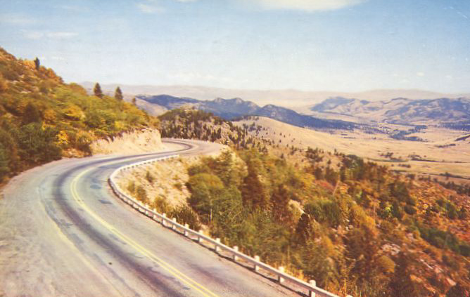
|
|
|
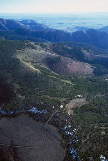
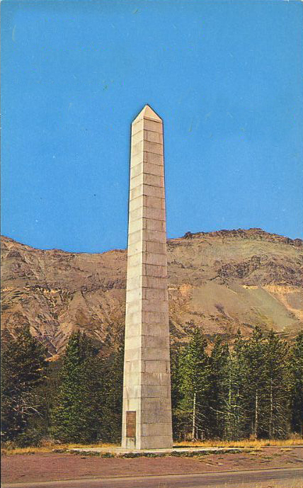
Rogers Pass is only 5 miles from Lewis and Clark Pass used by Meriwether Lewis on his return trip in 1806. |
|
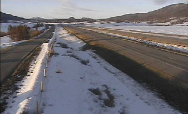
Rogers Pass area is the site where the coldest temperature in the US (outside Alaska) was recorded at -70o in 1954. |
|
|
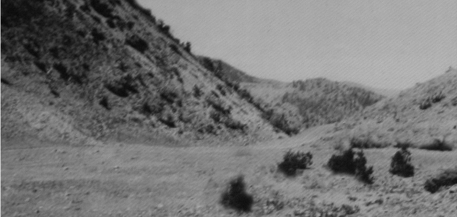
 Rogers Pass el. 5610 ft on MT-200
as it appears today, note tree growth.
Rogers Pass el. 5610 ft on MT-200
as it appears today, note tree growth.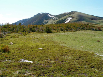

|
|
|
|
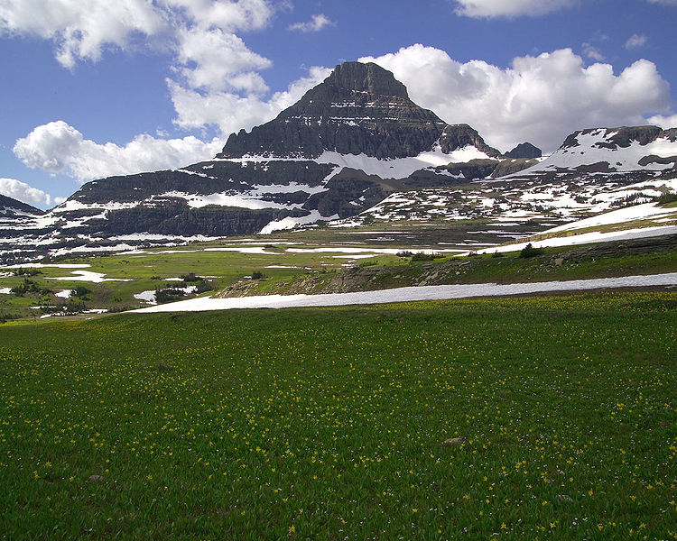
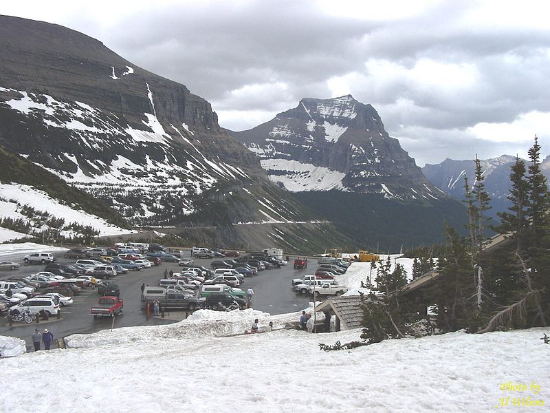 Logan Pass el. 6646 ft is in
Glacier National Park on
Going to the Sun Highway.
Logan Pass el. 6646 ft is in
Glacier National Park on
Going to the Sun Highway.
|
General Passes/Hills within Montana follow. We will start with the southwest part of Montana and move northward and eastward.
|
|
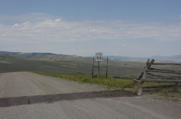
Cardwell Hill el. 5000 ft is on I – 90 between Three Forks and Whitehall. A very gentle and long smooth climb westbound from Three Forks, but a steep climb eastbound with curves from Whitehall. |
|
|
|
|